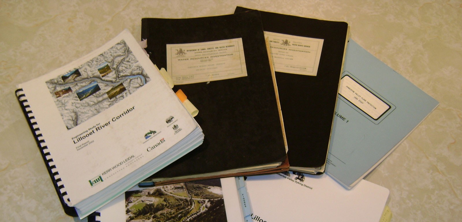
Studies and Reports
- Ryan River Floodplain Study
-
Prepared by: Northwest Hydraulic Consultants Ltd.
March 15, 2023
- PVDD Response To BC Flood Strategy Intentions Paper
- 2022 Lillooet Monitoring Survey Report
- 2021 Birkenhead and Green River Floodplain Mapping and Risk Assessment
- 2020 Pemberton Flood Mitigation Final Report 1
- Lillooet River Flood Mitigation Sediment Management Plan Nhc R3
- Lillooet River Flood Mapping Final Report
-
Lillooet River Flood Mapping Final Report
Prepared by: Northwest Hydraulic Consultants Ltd
Date: November 2018
- Lillooet River Survey, 2011
-
- Publisher: Kerr Wood Leidal Associates Ltd
- Publish Date: December 2011
2011 Lillooet River Survey – Cross Section and Bathymetric Survey
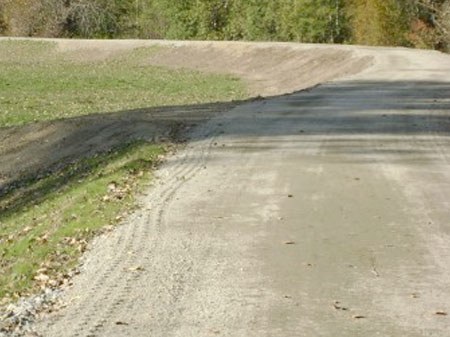
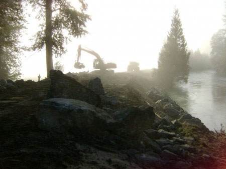
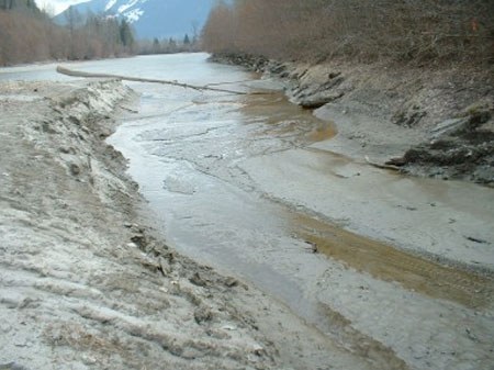
In August 2010, a massive landslide occurred on Capricorn and Meager Creek, a tributary of the Lillooet River. It was important that baseline Lillooet river conditions be documented before sediment from the Capricorn Creek landslide moves into the Pemberton Valley Dyking District (PVDD) service area.
In 2000, there were approximately 60 cross-sections surveyed on the Lillooet River. Surveys were also conducted on its tributaries. Although the 2000 cross-section survey was comprehensive, a number of significant events have occurred in the intervening decade, including:
- a major flood in 2003; and
- several smaller landslides within the watershed.
Therefore, an updated survey provides a more representative ‘baseline’ for comparison with potential future sedimentation. This 2011 Lillooet River survey is intended to act as a baseline survey prior to the arrival of the majority of the sediment generated during the 2010 slide as well provide an updated river survey for comparison to previous surveys, and future modelling, analysis and design purposes.
- Lillooet River Survey Report Interpretation, 2011
-
- Publisher: Kerr Wood Leidal Associates Ltd
- Publish Date: December 2011
- Large Woody Debris Assessment, June 2011
-
- Publisher: Kerr Wood Leidal Associates Ltd
- Publish Date: June 2011
- Lillooet Lake Lowering Analysis, 2010
-
- Publisher: Kerr Wood Leidal Associates Ltd
- Publish Date: December 2010
- Ryan River Dyke Assessment, February 2009
-
- Publisher: Kerr Wood Leidal Associates Ltd
- Publish Date: February 2009
- Arn Canal Model Tech Memo Final, 2009
-
- Publisher: Kerr Wood Leidal Associates Ltd
- Publish Date: July 20, 2009
- Lillooet Lake Narrows Survey, 2009
-
- Publisher: Kerr Wood Leidal Associates Ltd
- Publish Date: 2009
- Lillooet River Gravel Management Plan, February 2007
-
- Publisher: Kerr Wood Leidal Associates Ltd
- Publish Date: February 2007
- Pemberton Creek Gravel Management Plan, 2006
-
- Publisher: Kerr Wood Leidal Associates Ltd
- Publish Date: December 2006
- Lillooet River Corridor Study, December 2002
-
- Publisher: Kerr Wood Leidal Associates Ltd
- Publish Date: December 2002
- Pemberton Valley Flood Protection Study, 1985
-
- Publisher: Ministry of Environment
- Author: H.H. Nesbitt-Porter
- Publish Date: July, 1985