Geology
The geology of the Pemberton Valley is largely due to past events from Mount Meager. At Just under 9000 feet, Mount Meager is considered one of the most active volcanoes on the coast. Last erupting 2350 years ago, the outflows dammed the Lillooet River, creating a lake 50 metres deep.
When the dam eroded, the ensuing flood propelled house-sized boulders the length of the valley and created Keystone Falls. However, river damming is also possible by landslides exclusive of volcanic action.
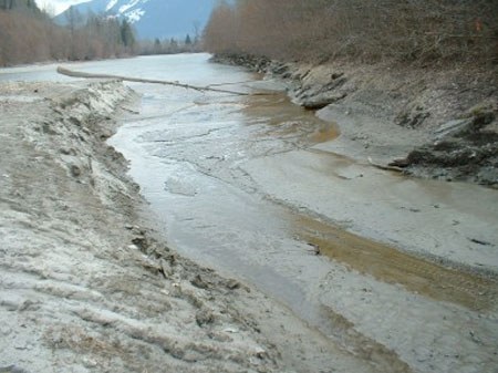
The acidic agricultural soils of the Pemberton Valley are due to the geologically frequent clastic flows as well as the ongoing scouring and depositional effect of the myriad streams that empty into the Lillooet River.
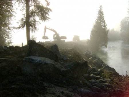
By preventing floods, the dykes speed the flow of water but increase the need for irrigation by lowering the water table. This is a small cost when balanced against the cost of rebuilding after a major flood.