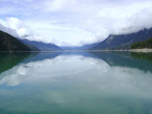
Geography
The natural topography of the Pemberton Valley creates an effect similar to that of a funnel due to the gently sloping base of Mount Meager at just over 400m, dipping down to 200m at Lillooet lake 70km away.
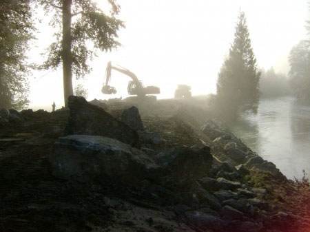
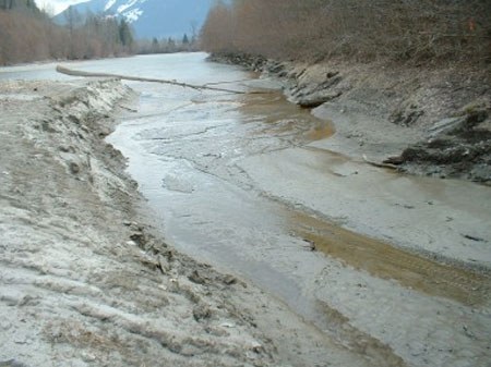
During periods of heavy precipitation and melt-off, such as in 2003, with early snow, heavy and fluctuating freezing levels, and rains, the dyking system is a necessity in order to assist in the safe evacuation of water.
The Pemberton Valley is uniquely situated in multiple climactic zones. The vegetation changes at the point where the Ryan River joins the Lillooet River from Interior Douglas Fir south of the Ryan, to Western Hemlock north of the Ryan. This indicates a shift in temperature and precipitation; however, the climate of the valley is typified by hot dry summers and mild wet winters.