Flood Protection
Flood protection is a complex science requiring a solid understanding of the area’s geography and what can happen during different weather events.
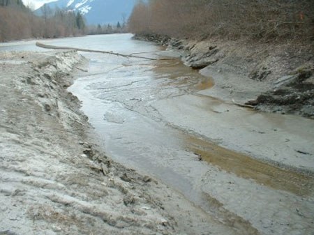
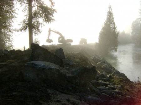
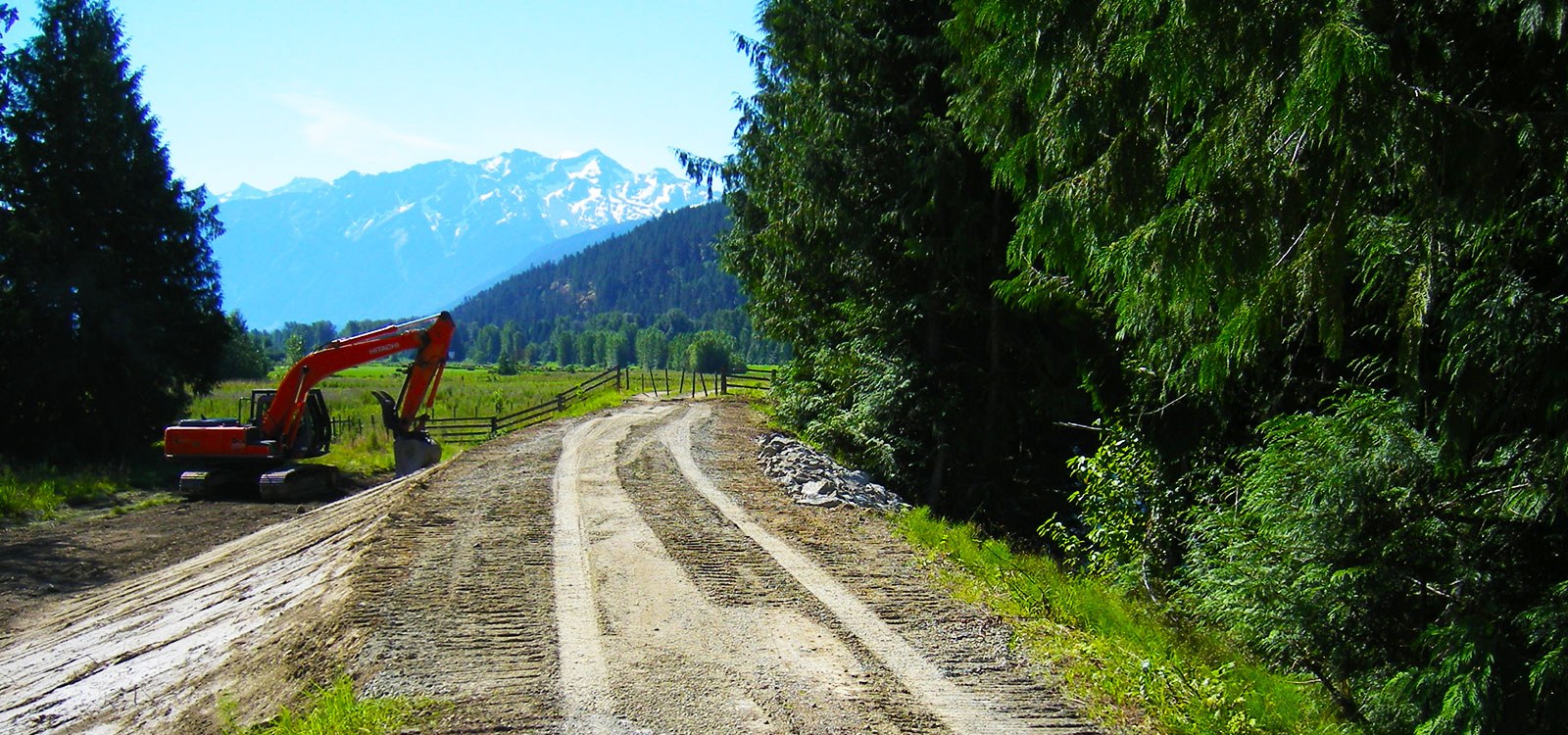
In order to prevent the flooding of land and buildings, standard engineered or designed structures called dikes are used. These include embankments, riprap, walls, fill pilings, pumps, gates, floodboxes, pipes, sluices, culverts, canals, ditches, drains or any other thing that is constructed, assembled or installed. The Dike Maintenance Act is the legislative basis for operation and maintenance of public dikes in British Columbia.
The following maps provide details on dike infrastructure (such as dikes, pump stations, floodboxes, riprap, relief wells), known areas of hazard concerns (boil locations, low dikes, etc.), the major road/street network (to show access points onto the dikes); and other infrastructure relevant to safe operation of the dikes (such as major pipeline crossings, hydro lines, railway lines, etc.).